Open-source Softwares

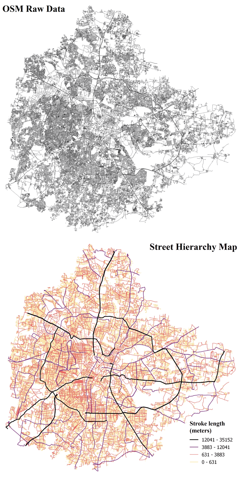
COintinuity IN Street networks (COINS)
A fully-automated Python tool to generate street hierarchy from raw OSM street network data. COINS has recently been integrated into the MomePy Python package and has become roughly ten times faster than the originally published version.

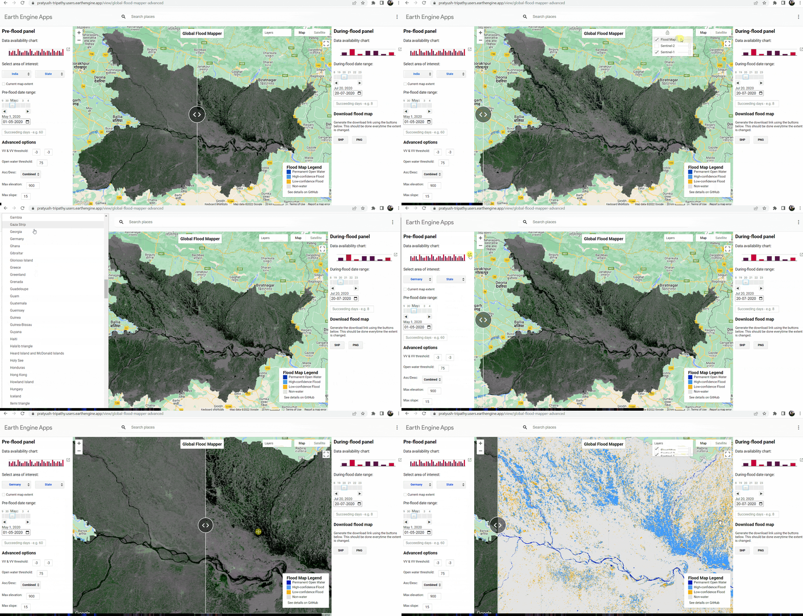
Global Flood Mapper (GFM)
Google Earth Engine application that uses Sentinel-1 SAR data for flood mapping. This is a simple graphical user interface that allows flood mapping without getting into technical intricacies of processing large amounts of data.

Python for Remote Sensing and GIS (PyRSGIS)
A Python package to read, process and export GeoTIFFs. pyrsgis is available on both PyPI and Anaconda. PyRSGIS has been downloaded over 120k times. The package is being updated based on constant feedback from the user community.

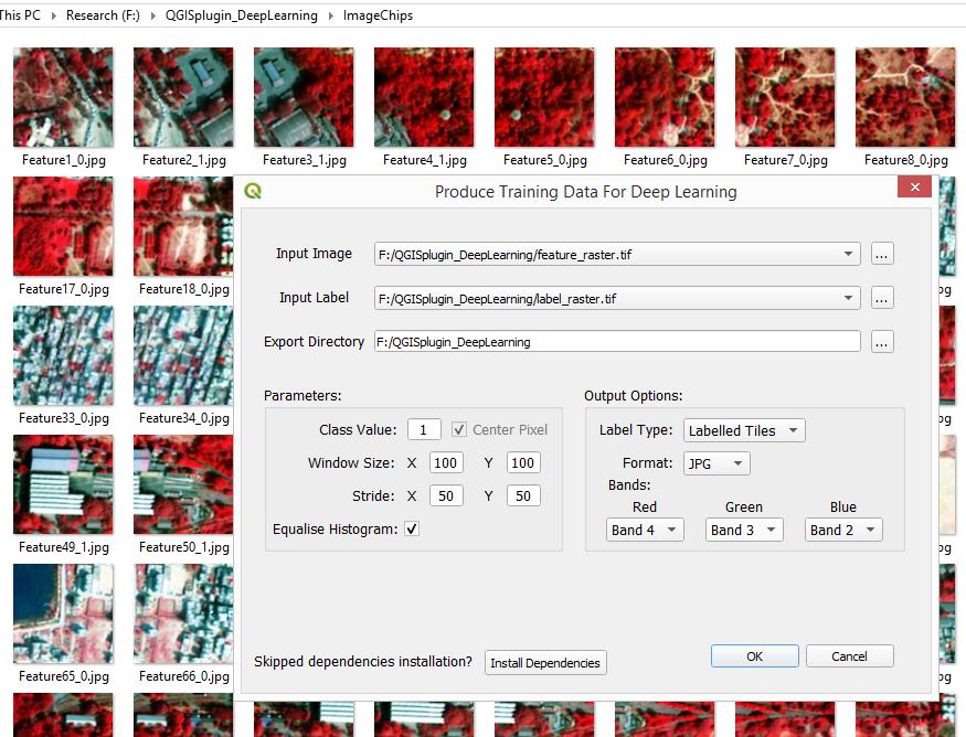
QGIS Plugin - Produce Training Data for Deep Learning
This plugin enables the user to generate image chips from multiband and discrete GeoTIFFs that can be used to train Deep Learning (DL) models.